
Palm grove near General Luna
General Luna, Siargao Island
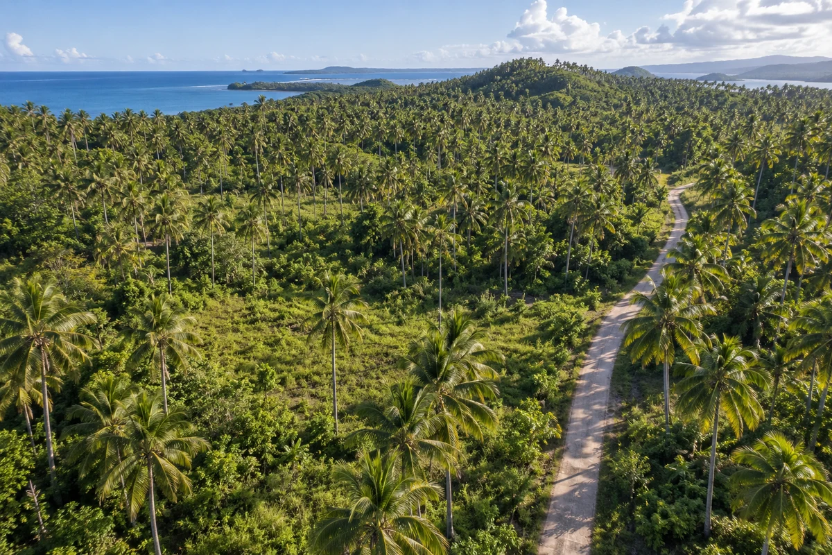 AI visualization1 / 2
Get to know this property
1,000 m² land parcel in General Luna, Siargao, with an asking price of
- Fictional example
The facts, in one place
- Asking price
₱1,900,000 - Price per m² of land
₱1,900/m² - Property type
- Land
- Land area
- 1,000 m²
- Municipality
- General Luna
- Barangay
- Not provided
- Listing relationship
- Listed by owner
- Last updated
- 5 Oct 2026
Site, access & building information
- Mapped boundary
- Outline supplied by lister
- Road access status
- Not confirmed
- Road width
- Not provided
- Registered right of way
- Not provided
- Zoning status
- Not checked
- Stated building height limit
- Not provided
- Stated setbacks
- Not provided
- Electricity connection
- Not provided
- Water supply
- Not provided
- Drainage / wastewater
- Not provided
- Measured elevation
- Not provided
- Measured slope
- Not provided
Technical details are stated by the lister and are not independently verified. “Not provided” means no separate structured value is available. Ask the lister about the source of measurements and building restrictions.
What is available to ask for?
- Certificate of title (TCT/OCT)Not provided
- Tax declarationNot provided
- Survey / lot planNot provided
- Zoning / land-use certificateNot provided
- Road access documentNot provided
Original document files and contact fields are not published here. “Provided” records availability stated by the lister; “Seen in review” is not legal verification. Understand title and tax-declaration documents →
How does the asking price compare?
Fictional prices do not contribute to real-property comparisons.
What this comparison means
Uses other public land listings on this portal in General Luna, with a stated land area between 500 and 2,000 m² and an update within the last 180 days. Demo properties, this property and duplicate mapped sites are excluded.
The middle asking price per m² is the median. “Near” means within 15% of that median. This compares asking prices, not completed sales or independently assessed property values. Location, access, title status, terrain and, for houses, building condition can explain large differences.
Snapshot: 22 Nov 2026.
Location & boundaries
Approximate pin. The pin shows the general area, not the exact parcel. Confirm boundaries on site with a geodetic engineer.
9.81900, 126.13700Lister note: Fictional demonstration position. No claim about this real location or its owner.
Terrain & environmental information
- Flood assessment
- Not checked
- Storm-surge assessment
- Not checked
- Topographic survey
- Not provided
- Ground-level site visit
- Not recorded
No dated, site-specific environmental assessment is attached to this listing. An empty result does not indicate that the land is free of hazards. Satellite imagery helps with orientation; it cannot establish elevation, access rights or building permission.
See it on the ground
Ask the lister about a visit, the boundary markers and the route from the public road. Keep the answers together in a private conversation linked to this property.